ON THIS PAGE:
Contents of Sea Kayak Navigation section
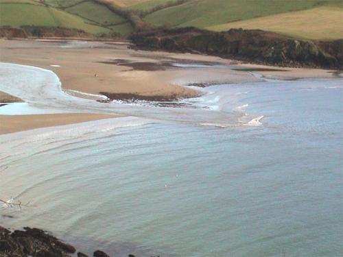
EXPLORE:
Go to top of Technique chapter Go to next page Go to previous page
— plotting your position Using a compass afloat GPS satellite navigation